
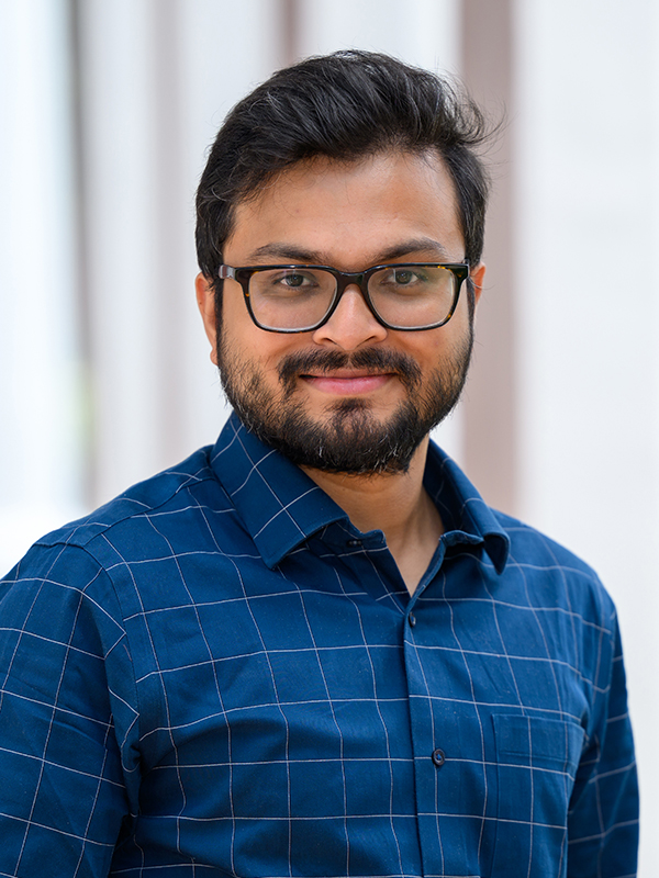
Raja Das
Professor Das teaches general geology. His research uses geospatial analytics, remote sensing, and machine learning to detect, predict, and monitor landslides, with the aim of reducing the risk that slope failures pose to people and infrastructure.
Raja Das
Visiting Assistant Professor of Geology
- Science Addition AG13
- P: 540-458-8271
- E: rdas@wlu.edu
Program Affiliations
Working primarily with InSAR, LiDAR, and multi-resolution satellite imagery to analyze slope instability, assess landslide susceptibility, and quantify hazard at regional scales. I am also interested in how these same tools can be applied to other environmental and hazard problems, including land subsidence, flooding, and coral reef decline. Besides research, I enjoy teaching undergraduate courses in Natural Hazards, Remote Sensing, GIS, and Introductory Geology.